
Lorain ZIP Code Anchors
Three ZIP codes have current official Lorain address anchors in the research: 44052, 44053, and 44055. They are useful starting points, not a declared list of every postal route touching the city. The City Hall and Main Library addresses anchor 44052. A City Street and Cemetery Department address anchors 44053. The Board of Elections and South Lorain Branch addresses anchor 44055. For each property, the delivery answer still comes from USPS using the complete address.
| ZIP | Areas Covered | Post Office | Notes |
|---|---|---|---|
| 44052 | City Hall and Main Library anchor addresses | Not verified in research | Use USPS for the target address. |
| 44053 | City Street and Cemetery service anchor | Not verified in research | Service anchor only, not a hard boundary. |
| 44055 | Board of Elections and South Lorain Branch anchors | Not verified in research | Verify any delivery address with USPS. |
Nothing in those anchors proves that a ZIP is wholly within Lorain, or that it covers a named neighborhood. The research did not verify postal-station assignments, a complete municipal-boundary map, a PO-box or unique-ZIP list, realignment history, or ZIP population totals. A nearby 44054 should not be presented as Lorain coverage unless an exact USPS result supports that address.
Note: The three ZIPs are address anchors only, so a postal delivery conclusion requires an exact-address USPS result.
Verify Lorain ZIP Codes
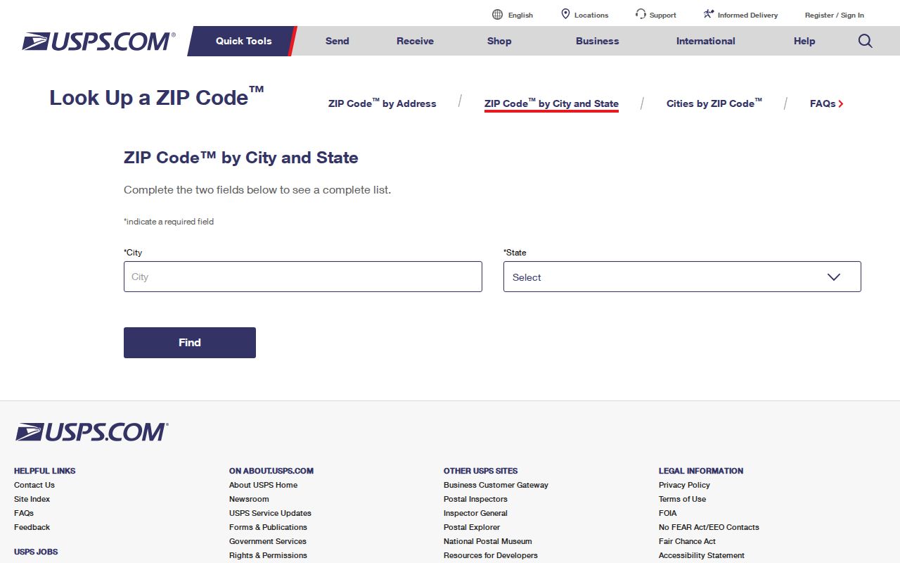
The USPS ZIP lookup verifies delivery information for an address. It does not confirm that a person or company is at that address. Enter the complete street address, preserve the returned ZIP, and use that delivery result as the postal reference when comparing county data. A taxpayer mailing ZIP on a tax record can differ from the property’s situs address and should remain labeled as a mailing value.
The official USPS City-State ZIP lookup is shown in this Lorain postal-reference image. It is the delivery check for an exact address, not a people-search screen.
Once USPS returns a ZIP, compare it with the street direction, suffix, and unit used in the county address form before deciding two records point to the same property.
Lorain ZIP Records Search Fields
The County Auditor’s Location Search is the ZIP-capable local record tool documented for an address query. It is structured rather than a general list of people. The full form separates street components, city and state from ZipCode, then offers real-estate and manufactured-home selectors. That structure helps distinguish an apartment unit, a directional street, or a similarly named road before a parcel card is opened.
| Auditor field group | Verified use |
|---|---|
| Location and Tax Year | Sets the address-oriented property query and tax-year context. |
| Street Number, Pre-Direction, Street, Street Suffix, Post-Direction | Keeps the full street form intact. |
| Unit Designator and Unit | Separates unit-level addresses where supplied. |
| City, State, ZipCode | Adds locality and postal narrowing. |
| Real Estate or Manufactured Home; Search or Clear | Uses the documented selectors and controls without assuming unseen dropdown choices. |
A parcel card can show a PIN, situs address, owner, sale reference, legal description, and tax fields. It may also show a deeded-owner address and a taxpayer mailing address. Those labels answer different questions, so this ZIP code directory should not collapse them into one claimed home address. Use the returned parcel address only as property context; it does not identify all people connected with the property.
Narrow Lorain Records by ZIP
A ZIP code can narrow an address search, but it cannot produce a reliable resident roster. The Auditor accepts ZipCode as one field. County GIS keeps ZIP polygons and address points for map context. The voter lookup starts with a name, and the state version may later narrow by street, not ZIP. The Board of Elections reporting tools organize voter information by election, precinct, district, and address order under statutory limits, rather than offering an unrestricted ZIP list.
Other official ZIP fields have narrower purposes. The Ohio DRC Offender Search uses ZIP within a restricted corrections-status search, and the Ohio unclaimed-funds search can narrow reported-owner claims by city and ZIP. Neither one confirms current residence, and neither belongs in a ZIP-wide resident list.
- Verify the target delivery ZIP through USPS using the full address.
- Enter the full address, including direction, suffix, unit, city, state, and ZipCode where known, in Auditor Location Search.
- Read the parcel card’s situs, deeded-owner, and taxpayer-mailing labels separately, and preserve the PIN for later record matching.
- Open GIS with ZIP polygons, address points, and parcel context visible, then date the map observation.
- Use a name-first voter search only to confirm a registration or polling assignment within its legal limits.
The Lorain County precinct-map resources illustrate a different geography from a ZIP. Precinct and ward maps are useful for election context, but they do not establish a postal delivery boundary.
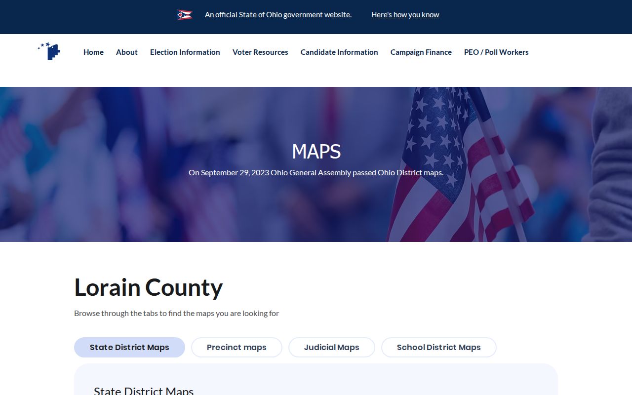
When a ZIP has reduced the search area to a street, the Lorain address directory carries the address-keyed record trail further without treating ZIP data as ownership proof.
Note: Save the query date because parcel, precinct, tax, and delivery information can change after a search is run.
Lorain ZIP Maps and Parcels
The Lorain County Auditor GIS and Tax Map adds context that a USPS answer cannot provide. Its public layers include ownership parcels, address points, ZIP polygons, tax and school districts, neighborhoods, subdivisions, flood zones, plats, road centerlines, imagery, and historical parcel layers. A ZIP polygon is a useful visual layer, yet the Recorder’s legal description or plat remains the land record for a parcel.
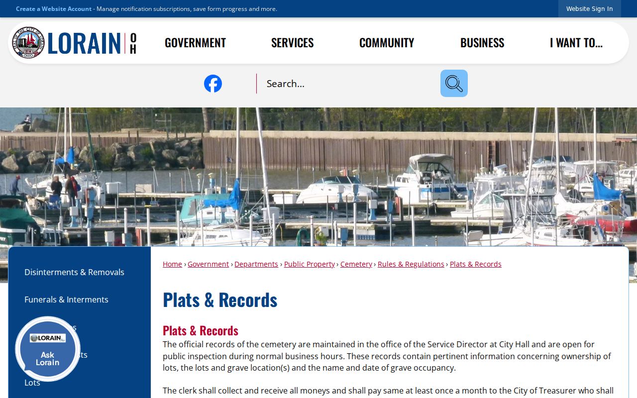
The City’s plats and records page is the source shown below for this Lorain ZIP reference image. Plats help place a lot or subdivision in its recorded land context; they do not identify a current household.
For an address close to a drawn ZIP edge, use USPS for delivery, GIS for map context, and the parcel PIN plus legal description for the property match. This three-part check is more reliable than a polygon-edge guess.
Lorain ZIP Election Context
The Lorain County Board of Elections supplies voter information through name-based lookup and reporting tools, not a ZIP-based directory. The local lookup requires first and last name. The statewide search requires first name, last name, and county, then may ask for a street name to narrow a result. Results are confirmation and polling-place tools, not an unrestricted way to identify people by postal area.
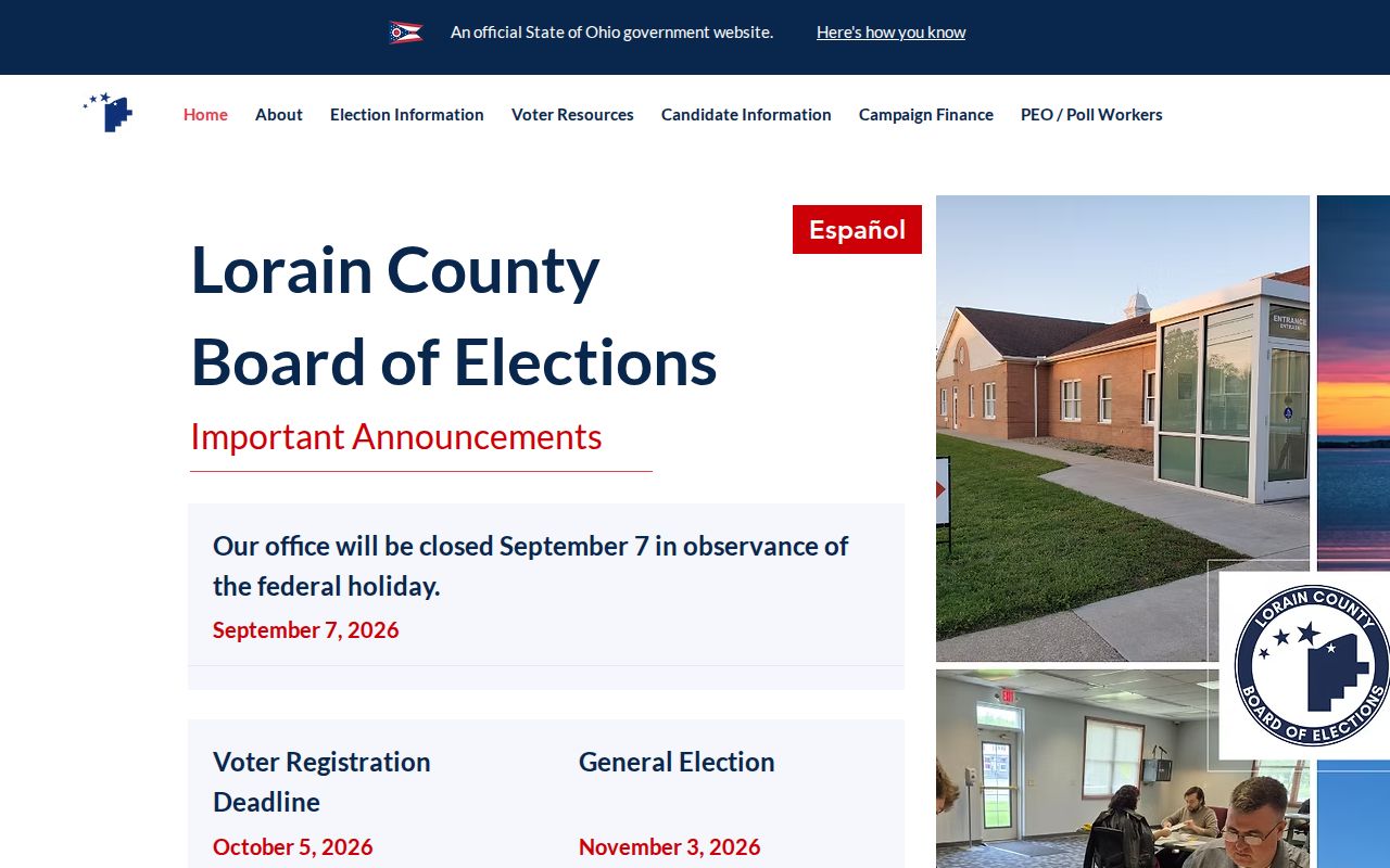
The Board of Elections home page appears in this Lorain election-reference image. Its current office address is one verified 44055 anchor, while its precinct maps and reports use election geography rather than postal geography.
Ohio law protects confidential registrations and specified personal data. Participation history, where lawfully reported, means participation in an election and never reveals ballot choices. Do not infer a protected address from an absent result.
Historic Lorain ZIP Context
Older Lorain address work needs records that predate the modern ZIP. Historic material may appear under Black River Township or Charleston, and the Lorain name was adopted at village incorporation in 1874. Match the original street spelling against a plat, legal description, historic map, or directory rather than forcing an older address into a modern postal label. No authoritative source in the research verified a citywide renumbering date, a ZIP realignment, or an annexation conversion rule.
The Library of Congress Sanborn sequence offers mapped context: Lorain grew from four digitized sheets in 1888 to 36 in 1910, with later cataloged editions. The maps show streets, lots, and building details, not named people. Use them beside Recorder, Auditor, probate, or directory evidence when a historic address does not match a present-day ZIP search.
Lorain ZIP Limits
Postal delivery labels should stay in their own lane. A parcel can be described by lot, block, subdivision, or metes and bounds in a Recorder instrument while the Auditor uses a situs address. The physical street line may also cross a jurisdiction or use a postal city name. For that reason, a ZIP search is a starting filter, not a substitute for a full address or legal description.
- ZIP code
- A postal delivery code tied to an address or service route, not a municipal boundary.
- ZIP+4
- An added delivery detail used with a ZIP code; verify it from the complete address result.
- PO-box ZIP
- A postal code used for post-office boxes. No Lorain PO-box ZIP list was verified in the research.
- Unique ZIP
- A ZIP assigned to one organization or destination. No such Lorain assignment was verified here.
- Carrier route
- A delivery-route grouping, distinct from parcel lines, city limits, and census map approximations.
USPS identifies delivery information, while Census ZCTAs are generalized statistical approximations. Neither should replace the County Recorder’s legal description when the question is where land is located.
Note: Record both the verified delivery result and the parcel identifier when a search depends on a ZIP near a boundary.
Lorain ZIP Research Gaps
The useful limitation is clear: the researched record sources verify three current Lorain ZIP anchors, yet they do not establish a complete ZIP-to-city-limits inventory. There is no verified official boundary map, postal-station assignment, unique- or PO-box-ZIP list, realignment date, or citywide ZIP population figure in the source set. A careful search records exactly which address was checked, which service answered it, and the date of the result.
That approach also prevents an address record from becoming a claim about a person. A GIS layer can show parcel context, and a tax card can show ownership or mailing labels, but neither supplies a complete household list. Confirm any consequential record with the actual office that holds it.
Note: Keep USPS, municipal, and parcel conclusions separate so each can be checked again with the appropriate official source.