
Lorain Neighbors by Block Source
Different sources answer different block questions. The Auditor parcel card and GIS map provide property context. Recorder instruments show a dated ownership event and legal description. The Board of Elections has controlled reporting options for election records. City files can document an administrative event at a property when requested. Library and Historical Society materials give historical context, not a current block list. Read each source for only the claim it can support.
| Source | What It Shows About a Block | Access |
|---|---|---|
| Auditor parcel card | Listed owner or taxpayer labels, situs, legal and tax context | Online property search; keep mailing and situs labels distinct. |
| Auditor GIS proximity | Nearby parcels, ownership polygons, and map layers | Public GIS context; date the application and selected layers. |
| Recorder instruments | Transfers, liens, legal descriptions, and dated parties | PAX account search or Recorder counter; not a household list. |
| BOE reports and Walking List | Statutorily reportable voter information in address order | Filtered official report; protected records remain withheld. |
| City permits or code files | Property administrative history | Targeted request; no verified historic online lookup. |
| Library and history collections | Curated neighborhood history | Historical research, not present membership. |
A listed owner may differ from the taxpayer mailing contact and from the situs, or physical taxed property, address. That distinction is central when checking Lorain neighbors. A map can put parcels next to each other without saying which individuals are current occupants.
Note: Keep each block observation attached to its source type, date, and parcel label instead of treating all nearby records alike.
Start a Lorain Neighbor Search
Use the Auditor Location Search to normalize the target address before opening a map. Its documented fields separate street number, directions, street suffix, unit, city, state, and ZipCode. Record the resulting PIN and the labels supplied on the parcel card. The PIN, or parcel identification number, joins an address to the legal land record more reliably than a short street-name search.
The repeatable record trail is: full address and PIN → application date and GIS layer → nearby parcel PINs in distance order → each parcel’s listed owner, taxpayer, and situs labels → Recorder document number only when a historical ownership question needs it. Keep the source and date beside every observation. This prevents a nearby map point from becoming a claim that a named person is a current neighbor.
- Situs address
- The physical property address used on a tax record.
- Listed owner
- The ownership label on a parcel card or GIS feature, which is not proof of occupancy.
- Taxpayer or mailing address
- The correspondence label used for a tax bill, which can be different from the situs.
- PIN
- The parcel identifier used to match an Auditor record to a legal or recorded land reference.
Note: Preserve the full target address and PIN before comparing nearby parcels so later records can be checked against the same property.
Map Nearby Lorain Parcels
The Auditor’s GIS and Tax Map offers parcel, address-point, ZIP-polygon, district, neighborhood, subdivision, flood-zone, plat, road-centerline, imagery, and historical-layer context. Research documents a 500-foot GIS method for a block review: begin with the target parcel, note the chosen layer and map date, use the documented buffer or measurement method, then sort returned parcel PINs by distance. The live control set was not independently captured, so treat 500 feet as the documented starting method rather than a certified block boundary.
- Locate the complete target address and save the parcel PIN.
- Record the map application date and every visible layer used for the observation.
- Use the documented nearby-parcel method and write down the selected distance or measurement setting.
- List nearby parcel PINs in distance order, then open their parcel cards one at a time.
- Keep owner, taxpayer, and situs labels separate; use Recorder documents only for a dated land-record question.
The GIS observation is the close-block angle. For a full named-street record chain, use the Lorain address directory rather than extending one proximity map into a streetwide roster.
Lorain Neighbors and Parcel Labels
Property data is often mistaken for a household record. The Auditor parcel card can show ownership, land use, sales, tax data, a deeded-owner address, and a taxpayer mailing address. It can also show an Owner Occupancy Credit, which is a tax-status clue, not proof of present residence or household composition. A deeded owner can be different from a person at the physical address, and a tax bill can be sent elsewhere.
This is a useful correction to a common myth about Lorain neighbors: finding a parcel or a deed does not create a list of everyone at that address. Compare a legal description and PIN before linking a parcel to a Recorder instrument. A recorded transfer can show parties, date, document type, consideration, and legal context, but it remains evidence of a land-record event.
Lorain Neighbor Election Records
The Lorain County voter reporting portal is the documented geographic route for official election reports. It can produce PDF, CSV, label, or statistical output and can sort qualifying results by voter-address Walking List or precinct and voter-address Walking List. Its filters use election, affiliation-related choices, precinct, and district categories. The ordinary individual voter lookup begins with required first and last name, not a street-address search.
Ohio’s statutory interface can make limited registration information available, subject to protected and confidential registrations. Voting history means participation, never ballot selections. The report route does not justify a casual block roster, and an absent result does not permit an inference about a protected address. Use a current precinct map instead of guessing a Lorain neighborhood boundary from a street name.
The Lorain Police Department records guidance is shown in this Lorain neighbors image. It is an example of a focused agency-record route, not a source for identifying every person near an address.
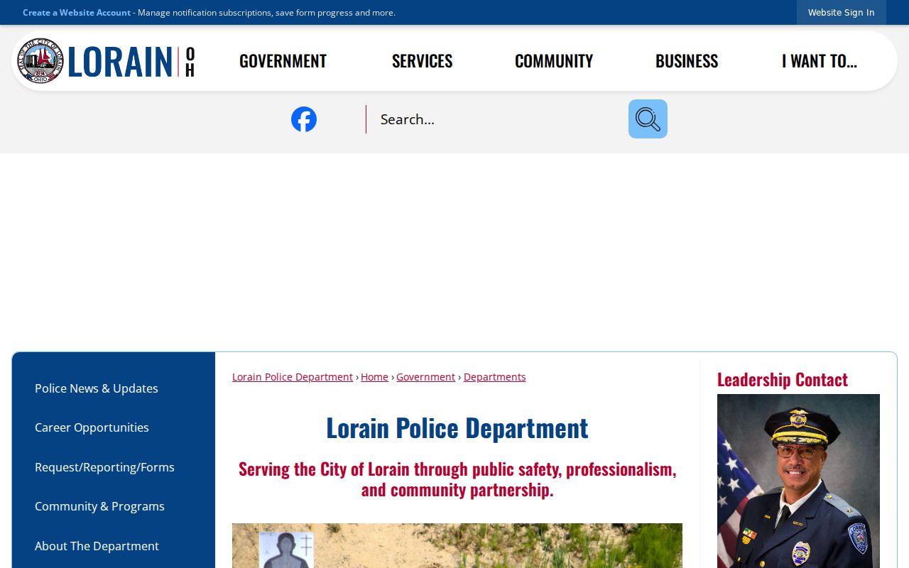
When a public agency holds a specific existing record, make a narrow request that describes the record and time period rather than trying to assemble a neighbor directory from unrelated records.
Note: Preserve the report generation date because registration, precinct, and activity data can change between elections.
Lorain Neighborhood Program Sources
No authoritative City or County comprehensive neighborhood-association membership directory, individual block roster, or HOA roster was found in the research. That absence matters. The City directory includes a Neighborhood Development Specialist, who is the appropriate referral for development or program questions. Ward 6, Oakwood Park, and the 28th Street Corridor appear in the City’s 2025–30 planning program, but they are program geographies, not universal neighborhood boundaries or membership lists.
| Published local source | Appropriate use | Limit |
|---|---|---|
| City staff directory | Ask the Neighborhood Development Specialist for public program or contact referrals. | Do not request or create a private resident roster. |
| City Planning and Zoning | Read current planning, zoning, map, and plat materials. | Ward and program areas are not postal or membership boundaries. |
| LPLS Doane Collection | Use clippings, photographs, and ephemera for historical context. | Curated material is not a current address roster. |
| Lorain Historical Society research | Request Community Stories, Black History Archives, or Latino Lorain material through its process. | Community history does not establish present membership. |
If an office supplies a public meeting notice, plan map, or association contact with consent to share, retain the office, source, and date. Do not treat civic participation as permission to make a personal directory.
Note: Program-area names provide planning context, not a verified definition of every Lorain neighborhood or its residents.
Historic Context for Lorain Neighbors
A historical block question has a different source trail from a current one. The Doane Collection holds Lorain clippings, photographs, and ephemera from the late 1800s to the present. Lorain County Memory includes city yearbooks, local-history material, and a digitized chronology/index. The Historical Society describes oral-history and photo resources through Community Stories. These sources can help place a street, organization, or event in time, but they should not be used to announce who belongs to a block today.
Historic map context grew with the city: the digitized Lorain Sanborn sequence runs from four sheets in 1888 to 36 in 1910. Those maps can explain a street, lot, or building setting, while a dated directory, deed, census, or obituary supplies the separate evidence needed for a person.
The City’s municipal cemetery contacts page is the source displayed in this Lorain neighbors image. Cemetery and historical materials can provide an endpoint or context for family research, yet they do not establish a current neighbor relationship.
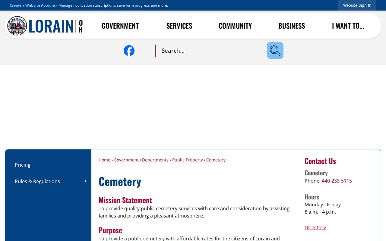
When the question is historic, record the directory year, newspaper date, map edition, or archival citation. That date discipline keeps a former address from being mistaken for a present one.
Official Tools for Lorain Neighbors
Official records and commercial neighbor tools do not make the same claims. Official sources identify the custodian, record type, date, and access limits. Commercial tools can merge old and current information, omit protected data, or conflate people with similar names. A result from either category needs a source check before it is treated as a fact about a Lorain block.
| Category | Useful for | What it cannot establish |
|---|---|---|
| Official parcel and GIS records | Parcel context, labels, legal and tax references | A complete list of current occupants. |
| Official election reporting | Limited, legally reportable election data in controlled formats | Ballot choices or protected registrations. |
| Library and history collections | Historic place and family context | Current membership or present residence. |
| Commercial neighbor tools | A possible lead to verify at an official custodian | Accuracy, completeness, or a current relationship to the address. |
For an official public-record request, the City’s policy allows an oral request and does not require the requester to state a purpose, but the record must be described clearly enough for retrieval. The best request names an existing record, address, date range, and preferred delivery format.
Lorain Neighbor Record Requests
When no online index exists, the fallback is a targeted custodian request. For a county 911 record, the Lorain County 911 public-record request form asks for occurrence, date and time, with delivery fields. That format illustrates why a clear existing-record request is more useful than a broad request for everyone around a property. Redactions and limits may apply.
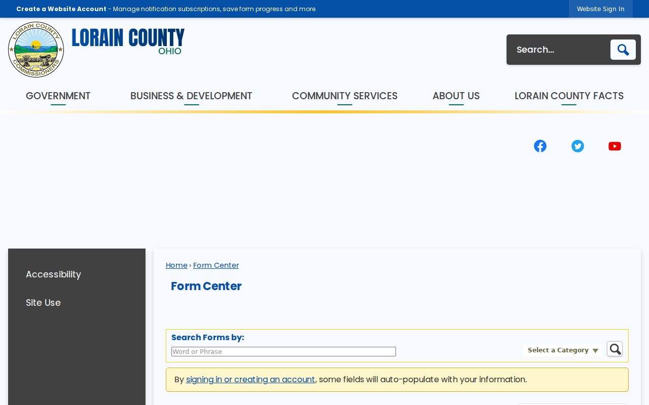
City permits, inspections, code files, and planning records also require a defined address and time period when a historical online search is unavailable. The records holder remains responsible for the original record, even when older material is stored through a county retention route.
Note: A narrow request tied to an existing record protects privacy and gives the custodian enough detail to find responsive material.
Privacy Limits for Lorain Neighbors
Even a lawful parcel map can expose more personal context when it is combined with election, court, or directory material. Keep map-visible parcels, recorded owners, named participants, and old directory entries in separate categories. Do not use a historic voter or directory result to announce present residence, do not infer a withheld address, and do not contact people identified through a records search.
The Ohio Secretary of State’s Safe at Home program is shown in this Lorain neighbors image. It provides address confidentiality for qualifying Ohio participants; a substitute address or protected record must be respected.
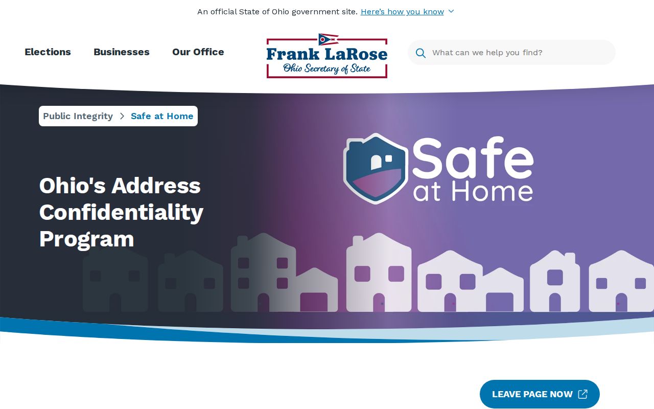
Ohio also protects confidential voter information and certain personally identifying data. If a result is redacted or absent, stop there and contact the responsible program or custodian for appropriate help.