
Lorain Previous Residents Source Eras
One address can have a long record trail, but no single source carries the whole story. The current parcel card supplies the modern PIN and legal description. Recorded documents carry conveyance parties. Tax duplicates extend the parcel and owner context farther back. Printed directories, census films, newspaper notices, and maps fill different historical gaps. The era table identifies the actual Lorain sources and avoids treating ownership, directory inclusion, and household evidence as the same fact.
| Source | Years it covers | Where held | What it shows |
|---|---|---|---|
| Auditor parcel search | Current tax and appraisal system | Auditor online or office | PIN, situs, legal description, sale reference, and owner or taxpayer distinction. |
| Recorder deeds | County records reported from 1824; online cutoff not stated | PAX login and Recorder counter | Conveyance parties, document trail, and legal chain. |
| Auditor tax duplicates | From 1824 | Records Retention Center | Earlier tax, parcel, and owner context. |
| LPLS directories | Most published Lorain material back to 1903 | LPLS, LC-OGS, or CPL | Selected printed name, address, and telephone cross-checks. |
| Federal census | Public releases under the 72-year rule; local films through 1930 | LPLS and National Archives databases | Household enumeration context, not title. |
| Sanborn maps | 1888–1910 digitized; later editions cataloged | Library of Congress | Street, lot, footprint, and building-use context. |
For a recent transfer, start with the parcel card and Recorder. For an older household question, use the closest verified directory issue, then pair it with a released census year and local newspaper material. A permit or code record may date an administrative event, but it does not establish a complete list of people at the address.
Lorain Previous Residents Begin with PIN
Normalize the present address in the Auditor Location Search before tracing earlier people or documents. Preserve the PIN, situs address, legal description, sale reference, and the labels used for owner and taxpayer. The county card can show a deeded owner, a taxpayer mailing address, and the physical location, but those values may differ. A tax-bill contact is not an occupancy finding.
The legal description is especially important when an older deed does not use the current street phrasing. Lot, block, subdivision, or metes-and-bounds wording can connect an Auditor record to a Recorder instrument more reliably than a street name alone. ZIP data supplies postal context, not a substitute for the recorded land description. A prior-resident search therefore starts with the parcel before it considers any address filter.
- Grantor and grantee
- The grantor transfers an interest; the grantee receives it. A name match still needs a parcel and legal-description check.
- Chain of title
- The sequence of recorded transfers tied to the same parcel or legal description, read backward from a current conveyance.
- Legal description
- The recorded land wording, such as lot and subdivision language, that identifies the property apart from street formatting.
- Enumeration district
- A census geography used to organize canvassing. It is not a simple address index.
Note: Keep a citation for each record, including the date searched, so a later researcher can distinguish a live parcel card from a historical document.
Trace Lorain Previous Residents Through Deeds
The Recorder route is the ownership backbone for past residents research. The PAX property search requires a free account and normally opens with legal-name searching. Its official guide documents a parcel route through Advanced Search, using the parcel number without dashes. When an Instrument ID or Book/Page appears on the parcel information, use it first. Otherwise, search the buyer or seller by legal name and refine with party role or dates.
- Match the current parcel card to its legal description and recent sale or instrument reference.
- Find the matching Recorder instrument, then save the party names, role, recorded date, instrument number or Book/Page, consideration if shown, and legal description.
- Use the transferor as the next backward lead, but search that person’s earlier receiving document rather than assuming every name hit belongs to the parcel.
- Repeat the parcel and legal-description comparison for each proposed link in the title chain.
- When a reliable online connection ends, bring the address, PIN, legal wording, and early party names to the Recorder or Records Retention Center.
The County and Library evidence support deeds reaching back to 1824. The Recorder does not publish a start year for the online index. That gap matters: do not invent a web cutoff. Older research may require counter help, retained records, or Library microfilm.
Open the Recorder PAX search guide for the documented instrument and search workflow.
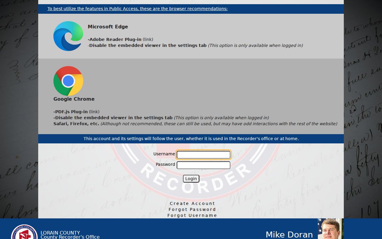
The guide’s Instrument ID and Book/Page paths are stronger starting points than an unanchored name result.
Lorain Past Residents Document Checks
An index entry is a lead. The document image, parcel match, and recorded date are the checks that make it useful. The Recorder’s current fee schedule lists regular and certified copies at $2 per page, with a $1 certification seal. Those existing-copy charges are different from recording a new instrument. Confirm the current fee before ordering, because the Recorder reported fee changes effective January 1, 2026.
Review the Recorder’s copy and certification fees before requesting a document image or certified copy.
The fee page helps distinguish an ordinary copy request from the cost of recording a new document.
The Recorder also provides a free RecordALERT service for monitored names. It can notify an owner that a document was recorded, but it does not authenticate a filing or replace a title search. Compare an alert with the official image, parcel, legal description, and known transaction before treating it as meaningful.
See the Recorder RecordALERT information for its account and name-monitoring details.
A recorded-document alert is a prompt to verify the official record, not evidence that a transfer is invalid.
Lorain Previous Residents Before Web Records
The Records Retention Center is the local bridge when a present-day screen or Recorder search reaches an uncertain historical boundary. It holds inactive county public records, microfilm, images, and indexes from offices including the Auditor, Recorder, Probate, courts, and Board of Elections. It specifically identifies Auditor tax duplicates from 1824. A useful request includes the city, village, or township, street address, parcel number, and an early owner name.
Historic GIS material can help compare parcel geometry or map labels. The application identifies current parcels from May 2026 forward, retired control-book parcels for 2008 through April 2026, 1962 tax maps, and historical aerial context. Those layers supply spatial comparison, not proof of who lived at a place. Date a saved map result and keep it beside the document trail.
Note: A present street address by itself is a weak historic request; parcel and early-owner details make retained records easier to locate.
Lorain Past Residents in Directories and Census
Ownership is only one part of an address history. The Lorain Public Library System reports city and telephone directories, local newspapers, census microfilm, obituaries, marriages, maps, and the Doane archive in its Special Collection. It says its Lorain directory material reaches back to 1903, but it does not publish an issue-by-issue inventory. Directory inclusion was voluntary. No authoritative source confirmed a citywide Lorain criss-cross run, so do not assume an address-first volume exists.
To trace past residents at the household level, select the closest verified directory edition and record its full citation. Use the next available edition, not an assumed annual sequence. Then pair the time span with a publicly released federal census. Census enumeration is not a street index, and the 1890 population census was almost entirely destroyed. Local Library films include Lorain County through 1930, while current federal release timing should be checked with the National Archives.
- Choose a verified directory year nearest to the address event and copy exactly what the selected volume prints.
- Check the next available local edition and note changes without inferring a move from a missing voluntary listing.
- Use newspaper notices, obituary indexing, and local vital microfilm for dated family-history anchors.
- Pair the interval with a released census and the correct township, ward, or other geography.
- Compare the printed street wording with maps, plats, and the deed chain when the address predates the current layout.
The volumes themselves belong to the Lorain city directories collection; the backward address trail depends on carrying their date and page into the rest of the evidence.
Lorain Previous Residents and Sanborn Maps
Sanborn maps help date the setting around an address, not the people in it. The Library of Congress catalogs digitized Lorain editions for 1888, 1893, 1896, 1900, 1905, and 1910. The sequence grows from four sheets in 1888 to 36 in 1910. Later editions, including 1918 and larger 1926 and later volumes, are cataloged but not publicly digitized. Street labels, lots, footprints, and building-use detail can resolve a geographic question that a deed or directory leaves unclear.
Use the Library of Congress Lorain Sanborn map entry to reach the digitized map collection. Historical research needs both geographic and personal evidence, so a map finding should be paired with a deed, directory, census, or obituary source.
Lorain Past Residents Trail Endpoints
Newspaper, obituary, cemetery, and Probate sources can close or refine a prior-resident trail. LPLS has contributed more than 70,000 obituary records to the Ohio Obituary Index and retains local newspaper microfilm, including the Morning Journal run from 1922. An obituary is a dated family-history lead, not automatic proof of residence or heirship. Probate records can add estate or guardianship context, while the county’s marriage record trail reaches back to 1824.
For historical death research, use the Ohio History Connection’s death-record guidance to understand the archives route and its non-certified copies.
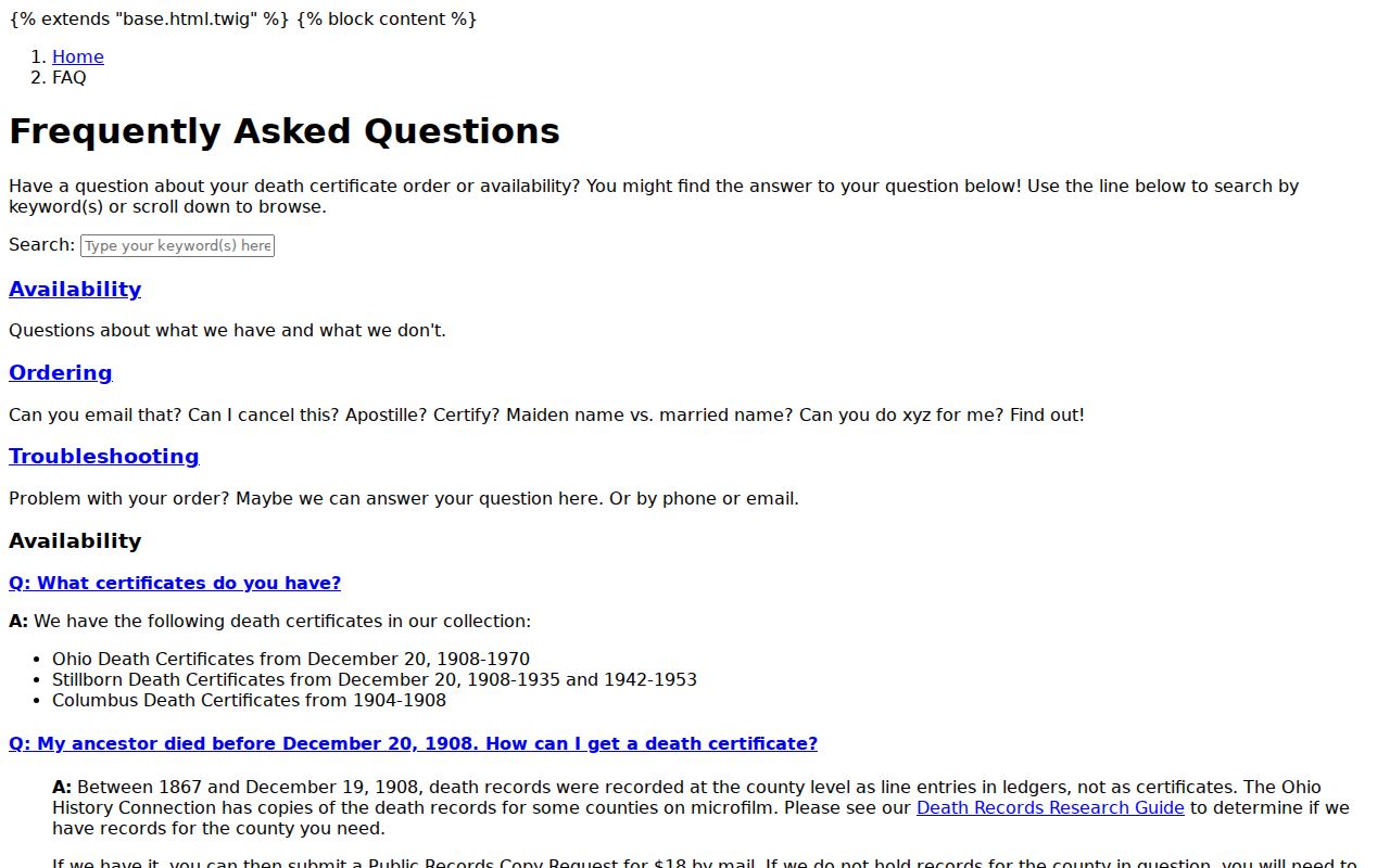
An archive copy can support historical research, while a certified record follows the appropriate county or state issuer route.
For an issued county death certificate, consult Lorain County Public Health’s death-certificate information.
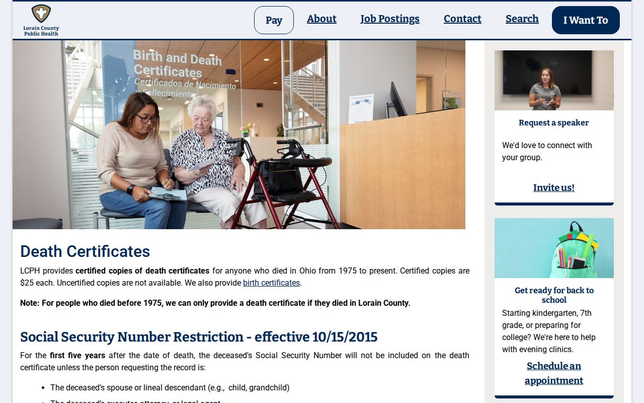
Ohio’s ordinary certificate route generally requires a signed application and fee, subject to the statute’s listed exceptions.
Lorain Previous Residents Address Names
Historic Lorain may appear under Black River Township or Charleston. Lorain County organized in 1824, and the settlement was known as Black River Village and then Charleston before its 1874 incorporation under the Lorain name. These place names are useful search terms when a name or address does not appear under its familiar modern form.
Compare the exact historic street spelling against the relevant directory, Sanborn map, plat, and legal description. The research found no authoritative citywide renumbering or renaming date. It also found no verified general conversion rule for a missing historic number. Preserve the uncertainty and ask the Library or Historical Society about a local street-change source rather than making a silent substitution.
Lorain Previous Residents Use Limits
Previous residents research is best used for family history, a house history, heirs, or a carefully documented civic question. It should not be used to pursue a living person. Protected voter addresses and Ohio Safe at Home information must remain protected. A redaction or substitute address is not a puzzle to solve by combining other records. Public documents can also contain errors, so compare an official image and its custodian before relying on a conclusion.
Lawful personal use. Keep the focus on the address history and respect privacy boundaries. Ohio law addresses stalking, telecommunications harassment, and identity fraud; never use historic or current record information to harass, track, intimidate, or harm someone.
Note: The strongest conclusion states which source proved which fact, and leaves unverified address connections plainly unresolved.