
Search Lorain Streets by Address
A Lorain street search works best as a chain, not a single result. Begin with the County Auditor’s structured address form, which can distinguish a number, direction, street suffix, unit, city, state, and ZIP code. That first match supplies a parcel identifier and the legal wording needed to compare records. The listed owner may be useful, but the tax bill can go elsewhere. Treat each label for what it says.
From that parcel, use the map for context, the Recorder for the recorded instrument trail, and a directory or voter source only within its stated limits. The Board of Elections does not begin with an unrestricted street roster. Its reporting route is filter-based and protects confidential voters. Historical directories are voluntary printed sources, not proof that every resident appeared.
- Enter the full address in the Auditor Location Search and retain the matched PIN, situs address, and legal description.
- Read the parcel card’s owner, taxpayer, sale, and instrument fields without equating the mailing contact with a current occupant.
- Open the County GIS context to compare the selected parcel, address point, roads, and visible nearby parcels.
- Use the Recorder’s name, parcel, date, Instrument ID, or Book/Page routes to locate a matching conveyance and its image.
- For a past address question, record a directory volume, year, and page, then compare it with census or newspaper evidence.
Note: A parcel match is a sound starting point, but every later document still needs the same legal-description or PIN check.
Lorain Street Directory Search Fields
The Auditor’s public Property Search has one broad field for parcel, owner, or address. Its dedicated Location Search is more exact for a Lorain street directory task because it separates the parts of an address. Use the stable parts first: number, street, suffix, and city. Add a direction or unit only when it is known. Dynamic dropdown choices were not exposed during the recorded inspection, so they should be checked in the live form rather than guessed.
| Auditor field | Type | Required | Practical use |
|---|---|---|---|
| Location | address field | One criterion | Broad parcel, owner, or address start. |
| Street Number | text | No | Separates a specific property from a whole street. |
| Pre- and Post-Direction | controls | No | Keeps similarly named roads distinct. |
| Street and Street Suffix | text/control | No | Uses the recorded street components. |
| Unit Designator and Unit | text/control | No | Helps narrow a multi-unit address. |
| City, State, ZipCode | fields | No | Adds postal and municipal context. |
See the Auditor’s GIS and Tax Map resources for the official entry point used with an address result.
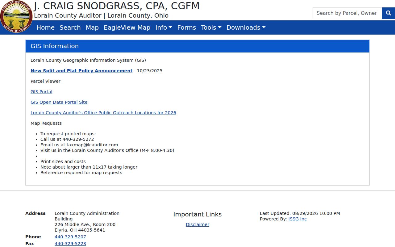
The Auditor material reinforces the address-first approach before a researcher follows a name into recorded documents.
Lorain Parcel Labels by Street
A parcel card contains several address-like values that serve different jobs. The physical location is the situs address. The deeded owner identifies recorded ownership. The taxpayer or mailing address identifies where county correspondence goes. A street directory search should preserve all three labels, but it should not turn any one of them into a statement about an entire household. The card can also show land use, sale information, acreage, tax district, neighborhood, and an instrument number.
- Parcel or PIN
- The county’s property identifier. It is the strongest bridge from a street result to a tax card, GIS parcel, and recorded instrument.
- Situs address
- The physical taxed-property location, which may differ from a taxpayer’s mailing address.
- Plat
- A recorded map that can identify lots, blocks, subdivisions, or other land layout details.
- Criss-cross directory
- A directory arranged by address rather than surname. No authoritative source verified a citywide Lorain run, so a specific volume must be checked before relying on one.
The Owner Occupancy Credit shown on a card is a tax-status clue. It does not establish who is living there. This distinction keeps an address search grounded in the actual County field labels.
Map Lorain Streets with GIS
The public County GIS connects roads, boundaries, appraisal data, ownership parcels, and address points. Its mapped layers include ZIP polygons, tax and school districts, neighborhoods, subdivisions, road centerlines, plats, imagery, and historic parcel material. The map is useful for the question, “where is this parcel in relation to the street?” It does not identify all people associated with a place.
For nearby parcel work, the verified ownership-parcel proximity analysis accepts a searched address or a drawn point, line, or polygon. Its default buffer is 500 feet, and it sorts returned ownership parcels by distance. That is a way to identify parcels, then open their separate Auditor records. It is not a people count for a block.
Open the Lorain County GIS experience to begin with the public mapping application.
Visible parcels and address points provide map context that should be checked against the corresponding Auditor and Recorder entries.
The County Auditor GIS application record documents the public parcel-map source.
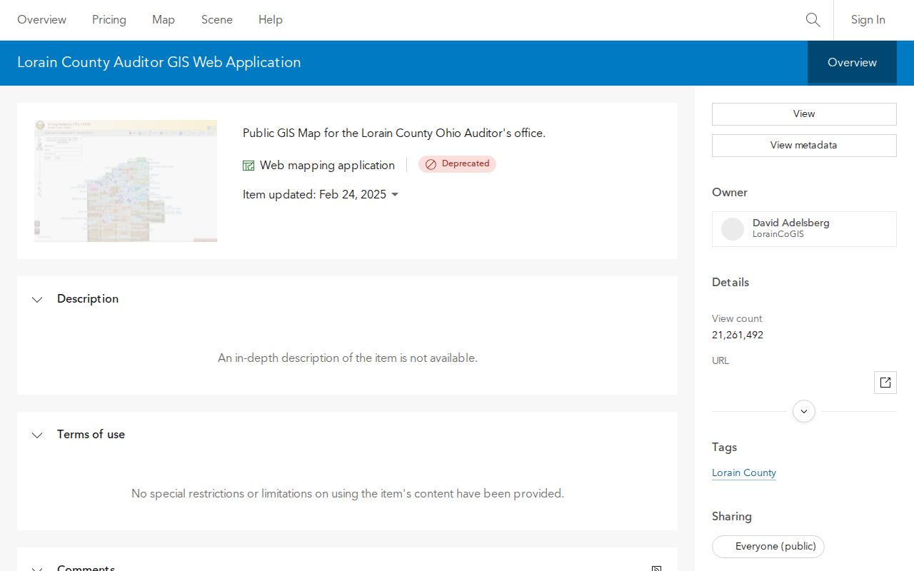
The application record is useful source context, while live map controls should be verified during a current session.
Lorain Address Records by Street
Several custodians keep address-keyed records, but their coverage differs. The Auditor carries current tax and appraisal material. The Recorder preserves recorded transactions. The Records Retention Center provides an older bridge. City departments keep administrative files that must be requested by address and date range. This coverage table keeps the Lorain street directory focused on what each source actually contributes.
| Address record | Keeper | What it can show | Access and limit |
|---|---|---|---|
| Parcel card and tax roll | Lorain County Auditor | PIN, situs, owner, taxpayer, land use, sale, and instrument link | Online parcel, owner, or address search; not a household roster. |
| Parcel map and GIS | County Auditor GIS | Address point, parcel context, layers, nearby parcels, and imagery | Public map; interactive controls must be checked live. |
| Deed, mortgage, or lien | Lorain County Recorder | Parties, document, legal description, date, and image | Login-based PAX search and counter assistance for older material. |
| Tax duplicate or early map | Records Retention Center | Older tax, parcel, and owner context | Request with city or township, street, parcel, and early owner. |
| Permit, inspection, or code file | City custodian | Project or administrative chronology | Request existing records. No verified public address-search portal. |
Note: A street name is a useful locator, while the PIN and legal description are the record-matching evidence.
Lorain Recorder Documents by Address
The Lorain County Recorder’s search begins with a legal-name route and requires an account. Its official guide also documents parcel searching through Advanced Search, with all parcel-number dashes removed. A detailed result can lead to an Instrument image for saving or printing. The current public guidance does not state the web index’s beginning year, even though Library evidence places county deeds back to the County’s 1824 organization.
For one street address, carry the PIN and legal description into the deed search. A party name alone can belong to another parcel. Record each party’s role, document type, Instrument ID or Book/Page, recorded date, consideration when shown, legal wording, cross references, and image availability. The Recorder’s Name, Summary, and Detail modes plus date, Party, and legal filters help narrow results, but the exact document-type choices remain account-session details.
Use the Recorder’s property-search guide for its documented account, name, parcel, and instrument-image workflow. Matching the parcel before opening a recorded document reduces the risk of connecting a street address to the wrong party name.
Lorain Street Permit Records
City permit, inspection, code, zoning, and plat material can add an administrative date to a street history. The City’s online permit pages are form and submission channels, not a proven historic address-search system. A targeted Ohio Public Records Act request should name the address, parcel if known, document type, and date span. Ask for existing records in electronic format where available, and accept legally required redactions.
Use the City planning and zoning resources when a plat, zoning, or neighborhood context is needed.
Planning material helps interpret a lot or recorded description, but it does not establish a complete list of residents.
Review the City permit forms and submission routes before requesting a historic file.
A request that gives the record type and a date range is more retrievable than a request for a newly created occupancy list.
Lorain Street Directory History
Printed sources can create historical address leads. The Lorain Public Library System reports city and telephone directories, local newspaper microfilm, census films, maps, and local-history collections. It says it holds most formerly published Lorain directories back to 1903, while warning that inclusion was voluntary. The Lorain County Chapter of the Ohio Genealogical Society offers specific point-year lookups, and Cleveland Public Library lists Lorain microfilm for 1903–1929 and 1937–1960.
The LPLS Main Library Special Collection is an open-stack reference collection on the second floor. Its books do not circulate, so an address search benefits from checking the catalog or asking a reference librarian before selecting a volume. Copies are 10 cents per page, and focused local-history questions can be sent to the Library’s published email channel. For an older gap, the Lorain Historical Society offers appointment or request-based research. Its first 15 minutes are free, then additional work is $25 per hour with a usual estimated response of two to four weeks. Give that request a surname, address, and target years.
When an address appears in a volume, capture the exact title, publisher, year, page, and printed spelling. Do not infer a move merely because a name is absent from the next available volume. The local run has gaps, and no authoritative source verified a continuous citywide reverse-directory shelf. For the collection details and a specific-volume check, consult the Lorain city directories.
Lorain Street Names Before Lorain
Older records may place a location under Charleston or Black River Township. Lorain County organized in 1824, and the settlement was known as Black River Village and then Charleston before the Lorain name was adopted at village incorporation in 1874. Those names are meaningful index terms when a familiar street search yields no result.
The Library of Congress catalog includes digitized Lorain Sanborn editions from 1888 through 1910, plus later cataloged editions. These maps can show street labels, lots, building footprints, and use, not named occupants. Compare a printed street spelling with a dated map, plat, and legal description. No authoritative source located a citywide renumbering or renaming date, so an address mismatch should be marked as unresolved rather than silently converted.
Lorain Street Directory Limits
A property record is not a household register. A street result can name an owner or taxpayer, show land context, or point to a recorded transaction. It cannot reliably show each current occupant. Utility and delivery customer lists are not established public address rolls. Motor-vehicle personal data is restricted, and protected voter or Safe at Home addresses must remain protected. An address may also belong to a vacant parcel, business, trust, estate, or other entity.
Lawful personal use. Use Lorain street records for family history, a property question, civic research, or another lawful purpose. Ohio law addresses stalking, telecommunications harassment, and identity fraud; never use a record trail to harass, intimidate, or harm someone.
Note: A redacted or substitute address is a boundary to respect, not an invitation to reconstruct private contact information.